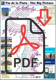
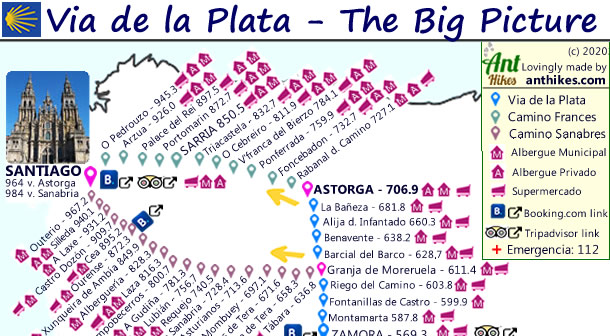
Welcome to the Via de la Plata Map providing you with the big picture!
I personally find useful to have an overview of an entire hike, however long it is. I also have a love for creating maps too! This is what inspired to create the Via de la Plata map in the first place.
What is a Big Picture Camino Map?
The Big Picture Camino Map is a single page PDF document that has the distances between villages and towns marked out, from Seville. I have also included a guide to the accommodation options in the various towns too. For a more comprehensive guide to accommodation options then I’d recommend Gronze.com. I have deliberately left off the individual town to town distances because it’s easy to work out, and your brain gets a little exercise too! 😉
The map can be viewed on any laptop or device, but is actually best suited for a mobile/cell phones, making it easy to access while you are on the Camino! There are also links to some useful travel sites too.
The Via de la Plata Map Big Picture is free!
I hope you find it useful. These maps are time consuming to make, but are a real labor of love for me. By all means feel free to donate to my map making 🙂
By all means feel free to donate to my map making 🙂

There are some *affiliate links in the document (these are safe to click and redirect from this site to the link) where I may receive small commissions, but you pay nothing extra if you book anything – and you help me 🙂

Redbubble is based out of the United States, Europe and Australia and will ship worldwide.
Lastest News from the Via de la Plata
Has the popularity of the Silver Way from Seville peaked?
When it comes to popularity of the Via de la Plata, the way is somewhat behind more popular camino trails such as the Camino Frances.
The Camino Portuguese from Porto to Santiago is usually the second most popular followed by the Camino Ingles from Ferroll and the Northern route from Irun – The Norte.


Great map! I love it, thanks for the hard work